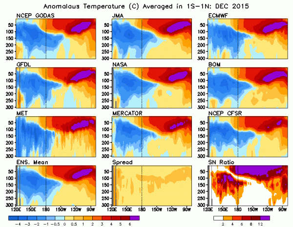
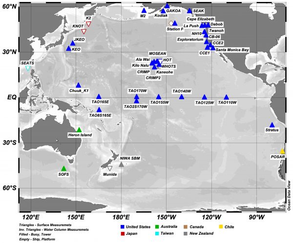
Data Access Links
The Tropical Pacific Observing System and its users rely on data from a variety of sources. While we do not host any of the observing system data on this site, you can freely access, view, and download these data and related products from several sources highlighted below.
TPOS Pilot Projects and Process Studies Data


Mooring Enhancement Pilot Project Data
-
NOAA PMEL’s NDBC TPOS Mooring Enhancement Pilot Project Website.
Includes data for 7 operational TAO moorings enhanced with ADCP velocity from 10-65m for about 1 year each.
Website describes the project, data processing and QC. Data is leveled with initial QC.

Tropical Pacific State Estimate Process Study
-
Ocean State Estimation at Scripps
Note model output is saved in NetCDF format.

Equatorial Pacific Cold Tongue Process Study

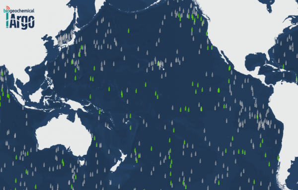
Biogeochemical Profiling Floats in the Tropical Pacific Pilot Project